DANDENONG RANGES – KALISTA OR BELGRAVE TO SASSAFRAS
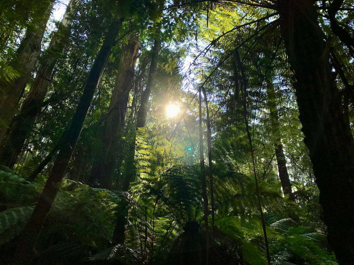
This is a lovely walk through mostly native forest, large tree ferns and glorious manicured gardens. There’s the added reward of being able to explore and indulge yourself at Sassafras and Kallista two quaint mountain towns.
There’s a myriad of ways to get to the Dandenong Ranges Walk.
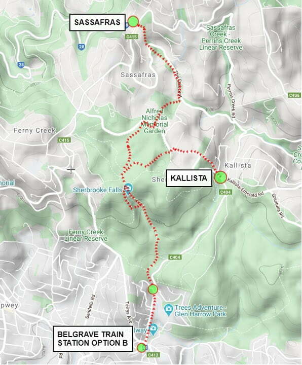
OPTION A: By Vehicle. Drive from Melbourne CBD along the M1 getting off at Wellington Rd. This is probably the quickest route at 50 minutes. You can follow the signs from there to Belgrave turning R on to Monbulk Rd to Kallista. At the roundabout at Kallista turn L on Sherbrooke Ave and park the car in the car park immediately to the R. Kallista Café is across the road.
OPTION B: By Public Transport. You can use Melbourne Trains to get to Belgrave on the Belgrave Line. You can catch this local train from Flinders station. The trains leave regularly and you can buy your ticket (Myki Card) at the station.
Both Dandenong Ranges walk options are about the same distance in walking. But Option B has more ascent.

OPTION A – SECTION 1A: KALISTA TO POETS CORNER
Distance: 1km
Expected time: 20 / 25 min
1) From the carpark walk up Sherbrooke Rd arriving at Owens Rd in 60m.
2) Turn R on Owens Rd and then immediately turn to the L up the gravel track walking around the L of the gate
3) Walk steeply uphill along a barricaded path labelled “Fire Protection Vehicles and Walkers Only”.
4) In 600 m arrive at Braeside Avenue and the corner of George Tindall Gardens.
These magnificent landscaped gardens date back to 1893 and are a fine example of native bush and exotic plants growing together in harmony. Virtually every day of the year you can see bulbs and other plants in flower.
5) Continue walking past the gardens, beside the main road, passing Woods Café on your R at the 1km mark, until you reach the next road on your R, called Poets Lane.
6) Walk another 60m cross the road into Main Entrance Picnic Ground.
7) Continue walking on Section 2 notes.
OPTION B – SECTION 1B: BELGRAVE TO SECTION 2 (4) RIDGE TRACK
Distance: 2kms
Expected time: 20 / 25 min
1) From the train station in Belgrave walk out to Burwood Highway/Monbulk Rd and walk the same the way the train was going.
2) Walk 1.2 kms to Micawber Tavern.
3) Walk just past the Tavern to the back of the car park to the track. You want to take the Hillclimb track.
4) In 200 m ignore the Pound Creek Track to the L and follow the Hillclimb track off to the Right to Sherbrooke Falls.
5) Arrive at a bench seat and some stairs to your L. Turn L and walk down the stairs for a few metres to see the falls and retrace your steps. From here you will continue using notes from Section 2, point 5 below.
SECTION 2: SHERBROOKE FALLS WALK
Distance: 4.2km
Expected time: 50 min / 1hr
1) Walk to the main gate on the bitumen. Follow the signs to Sherbrook Falls i.e walk to the back of the picnic ground, then follow tracks and signs to Sherbrooke Falls.
Along the way keep your eyes open for signs and sounds of lyrebirds. Look for the fresh scratching’s in the leaf litter under the trees. It is estimated that there are only about 70 lyrebirds left in Sherbrooke Forest, so consider yourself very fortunate if you spot one. You are bound to hear them though. These clever birds can mimic almost any sound – whether it be animal, bird or even man-made. There’s a story of the ranger who spent all day chasing what he presumed was a man with an axe illegally chopping wood, only to come face to face with a mischievous and no doubt tired lyrebird!
2) At 2.4kms continue on the Ridge Track straight ahead for the last 200m.
3) 2.6kms. Shortly above the falls, turn hard L down a steep track to cross the bridge over the falls.
4) Continue on, at the top of the stairs there is a bench seat, turn L at this intersection.
OPTION: The walk down the Hillclimb Track is stunning and is well worth exploring past the small foot bridge. Turn R and walk down the Hillclimb Track for approximately 500m/10mins and walk back.
5) 3.8kms. In 200m past the bench seat you’ll be back on Ridge Track having done a small circuit.
6) Turn R and walk back the way your came. In 250 m there is a wide wooden bridge which is broken, but just after that, in 10m, there is a log that spans the creek. Turn L and cross the creek being very careful as you cross. If you are not confident with this, walk back to the main gate and follow the Lloyds Track to the L that runs parallel to Sherbrooke Rd to Alfred Nicholas Gardens .
7) Veer R up the Wattle Track walking about 1 kms arriving at a gate and an asphalt road further ahead (5 km mark).
8) Veer R, along the dirt track that runs parallel to the asphalt rd and walk 200m, cross the rd that has always been to your L into the famous Alfred Nicholas Memorial Gardens through the main gate.

SECTION 3: ALFRED NICHOLAS MEMORIAL GARDENS TO SASSAFRAS CREEK RD
Distance: Approx 2kms ( this will depend on how much you want to explore)
Expected time: 25 / 35 min
1) Stroll down through the gardens. Take any route you wish and take your time to explore. There are plenty of signs pointing to the lake if you are in a rush.
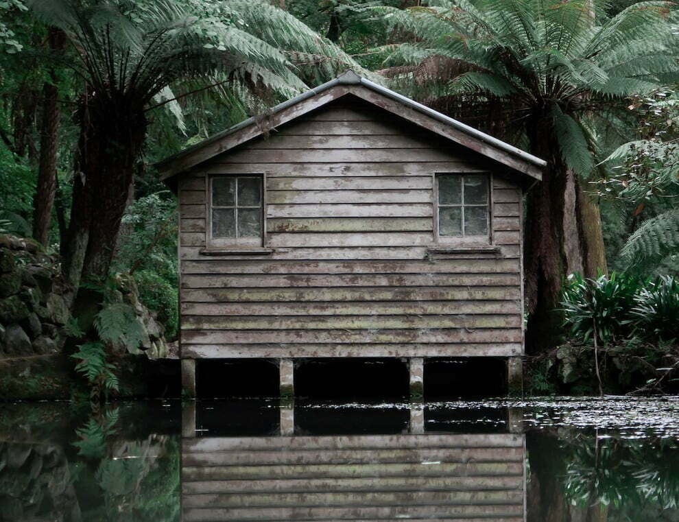
The gardens were established in the 1930’s by Alfred Nicholas of Aspro fame, around his family home “Burnham Beeches”, and the gardens were transferred to the State Government in 1973.
2) Follow the paths and signs from beside Burnham Beeches home downhill to the lake.
All tracks lead down in the general direction of the lake with the wide gravel road having the most gentle gradient. Spend some time strolling around the lake.
3) From the toilet block follow the main gravel road downhill and away from the lake (not along the lake) to the boundary with Sassafras Creek Rd. This is about 6.5kms into the Dandenong ranges walk depending on how much you have explored the gardens.
4) Cross the boundary fence at the end of the path and turn L on the dirt track just after the gate before hitting the rd. Sassafras Creek Rd is straight ahead.
5) There is a sign here saying Sassafras 1.5 kms, we have this at slightly further.
SECTION 4: SASSAFRAS CREEK RD TO SASSAFRAS TOWNSHIP
Distance: 1.7kms
Expected time: 25 / 35min
1) Turn L beside Sassafras Creek Rd on the narrow foot track.
2) Follow this track all the way into the Sassafras township.
3) Cross over a bitumen road having walked 1.3 kms.
4) In 400 m arrive at Sassafras having walked 8.2kms total, without any additional options.
Take care as it can be very slippery when wet on this track. There are a few fascinating antique shops in Sassafras and cafes.
So go forth. Walk, and enjoy. And step by step, we’ll see where the future takes us….
You can find out more about our Dandenong Ranges walk here, or call us on (03) 9597 9767.


There are no comments, be the first to comment.