


-300x200.jpg)
-300x200.jpg)
-300x200.jpg)
-300x200.jpg)

-300x200.jpg)

-300x200.jpg)
-300x200.jpg)

-300x200.jpg)

-300x200.jpg)
-300x200.jpg)


-300x200.jpg)
-300x200.jpg)
-300x200.jpg)


Lynette G
December 2025
The eateries during this walk are excellent. Flame Bros in Halls Gap and Royal Mail Hotel in Dunkeld.
-1-900x1600.jpg)
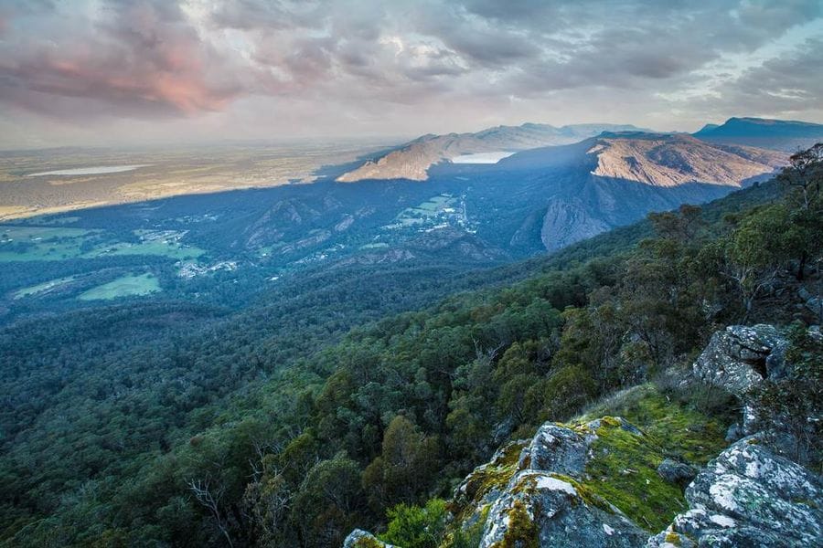
The Grampians Peaks Trail is one of Australia's most iconic walking destinations, threading 164 kilometres through Grampians National Park from Mt Zero in the north to Dunkeld in the south. Known to its Traditional Owners, the Djab Wurrung and Jadawadjali peoples, as Gariwerd, this is a landscape shaped over millennia and steeped in deep Aboriginal cultural significance.
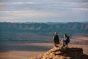
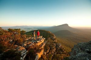
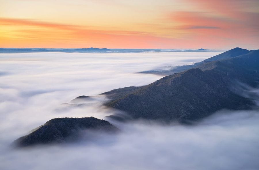
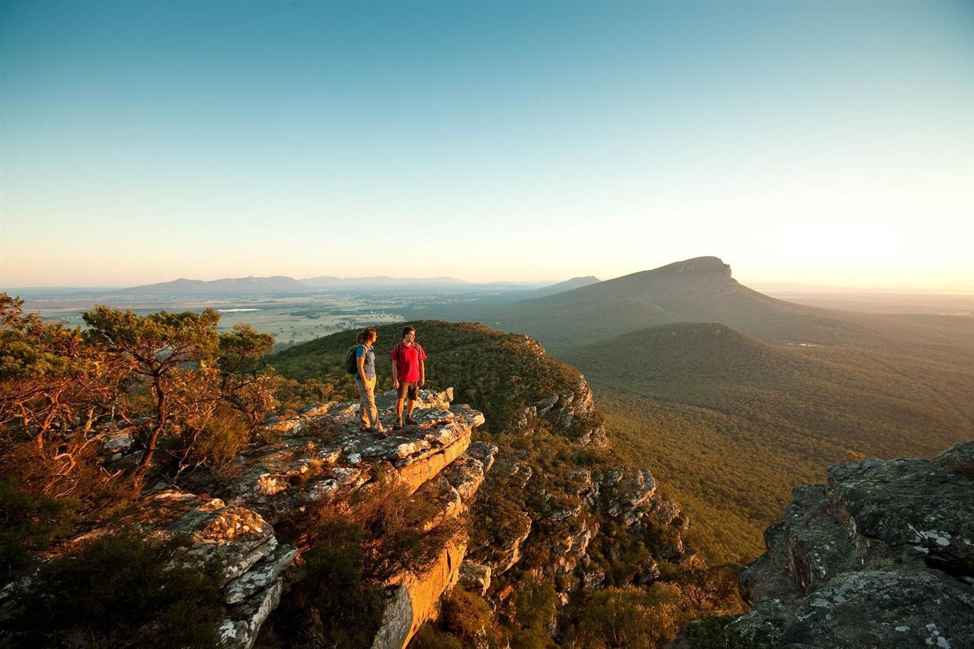
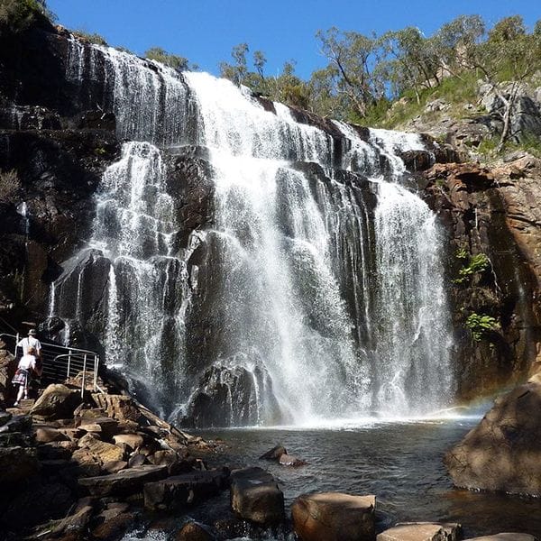
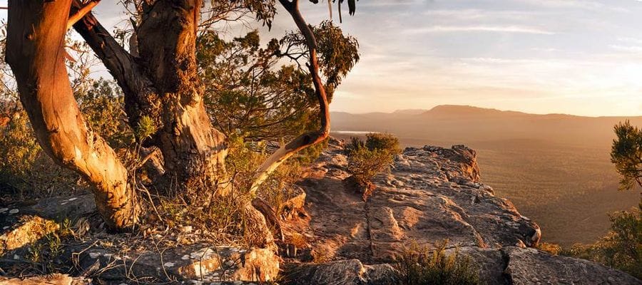
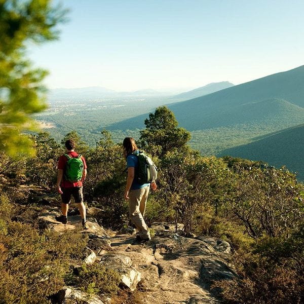
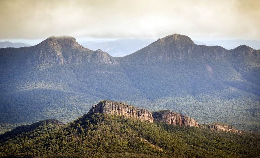
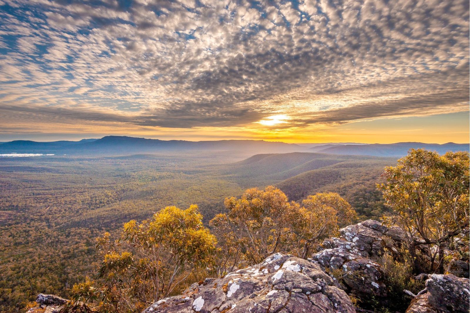
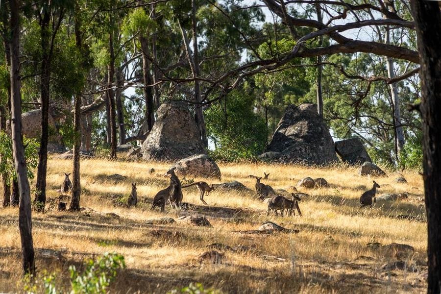
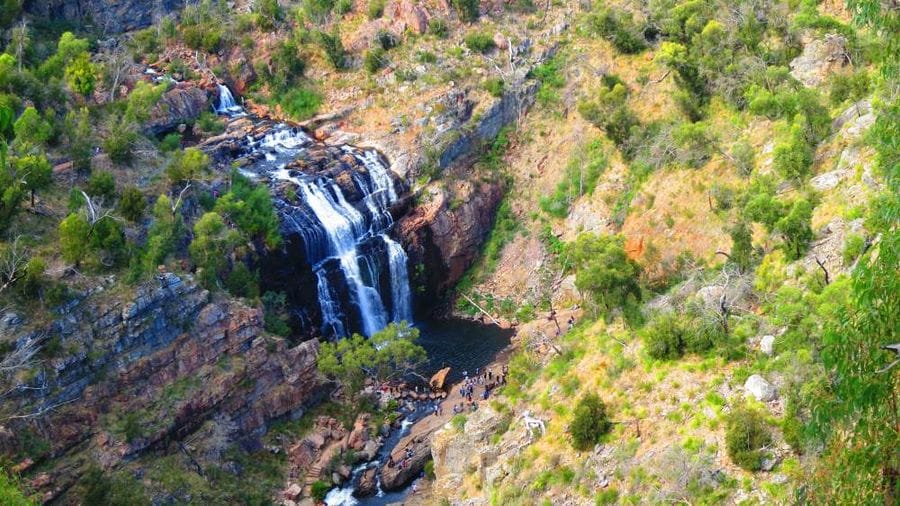
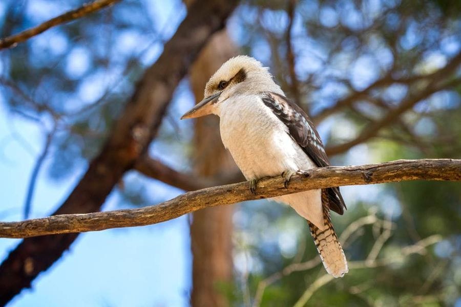
The trail rewards walkers with extraordinary variety. Windswept summits deliver breathtaking panoramic views across the ranges, while rocky escarpments offer genuine challenge and a real sense of achievement at every high point. Between the peaks, ancient gorges and cascading waterfalls punctuate the descent through forest and valley, with kangaroos, wallabies and rare birdlife present throughout.
Whether drawn by the challenge of the full 13-day route or a shorter section of the trail, walkers find in Gariwerd something that is difficult to put into words: a vast, ancient and deeply beautiful landscape that asks something of you and gives back far more.
A closer look at Grampians Peaks Trail
The eateries during this walk are excellent. Flame Bros in Halls Gap and Royal Mail Hotel in Dunkeld.
We really enjoyed the Grampians self-guided walk. Everything went very smoothly and the choice of walks were stunning and spectacular. We travelled late September to early October and there were so many beautiful flowering native plants on show. It was a highlight. The accommodation at Meringa Springs and Dunkeld were particularly impressive as were the meals from these places. Our hosts at Meringa Springs were particularly lovely. The Flame Brothers also excelled in terms of the quality of the food on offer in the evening, breakfast and lunch. Overall, it was a wonderful holiday and we enjoyed it immensely. Thanks to AusWalk for making it a success.
We really enjoyed the Grampians and Beyond 7 day self-guided walk. Everything went very smoothly and the choice of walks were stunning and spectacular. We travelled late September to early October and there were so many beautiful flowering native plants on show. It was a highlight. The accommodation at Meringa Springs and Dunkeld were particularly impressive as were the meals from these places. Our hosts at Meringa Springs were particularly lovely. The Flame Brothers also excelled in terms of the quality of the food on offer in the evening, breakfast and lunch. Overall, it was a wonderful holiday and we enjoyed it immensely. Thanks to AusWalk for making it a success.
We really enjoyed the Grampians 7 day self-guided walk. Everything went very smoothly and the choice of walks were stunning and spectacular. We travelled late September to early October and there were so many beautiful flowering native plants on show. It was a highlight. The accommodation at Meringa Springs and Dunkeld were particularly impressive as were the meals from these places. Our hosts at Meringa Springs were particularly lovely. The Flame Brothers also excelled in terms of the quality of the food on offer in the evening, breakfast and lunch. Overall, it was a wonderful holiday and we enjoyed it immensely. Thanks to AusWalk for making it a success.
The Grampians walk was an outstanding experience. The walks were fabulous and the accommodation and food were excellent.
Walk was as expected. Well organized, great walks, great guides. great accommodation & overly generous meals ! Good for big eaters. Felt like I was forever eating ! Temptation to not over eat was very difficult (ha ha). Excellent variety & quantity of walk munchies but thought a bit more variety on lunches would have been good ? We had 4 days of rolls & 2 days of wraps. Maybe 2 days each of rolls, wraps & maybe a salad for variety ? Accommodation at the Royal Mail was extremely enjoyed along with the dinner there and it was a great way to finish off the week. Thank you :)
The climate on the Grampians Peaks Trail is warm and dry in summer and very cool in autumn. In winter, it can get quite wet, but it rarely rains so much that it will ruin a whole day. If it rains heavily, it tends to come down quickly and then clear up.
The Grampians Peaks Trail self-guided walking holidays are available year-round. However, October through to May is a more popular time to walk. Please see our What To Bring section in FAQ’s for more information.
For more information, please see the Bureau of Meteorology’s information concerning average temperatures and rainfall levels throughout the year.
As with any journey, it is essential to be prepared for your walking holiday. While we will be transporting your luggage from accommodation to accommodation, you will still be carrying a lightweight day pack with you. Here is what we suggest that you carry with you each day:
Now that we have the essentials packed, it is time to think of those additional items that may be worth packing along with you. These may include and are not limited to:
NORTH 1: MOUNT ZERO TO BARIGAR
The walk starts from the trailhead at the very northern end of the park. Hike through a natural amphitheatre over rocky escarpments to the summit of Mount Stapylton. The reward from completing the first summit is the expansive views over the Wimmera Plains. We like to start the walk from Mount Zero, the most northerly summit in the Grampians National Park. This is a short detour of about 2 hours.
Walk: 12.9km / Moderate / 4-5 hrs.
NORTH 2: BARIGAR TO GAR
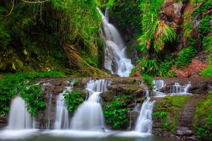
The walk begins with a gentle amble along a low ridge with views out to Mount Difficult and Briggs Bluff. There's a fairly difficult climb via some cascading waterfalls to Gar to get to just below Mount Difficult. Expect to see plenty of wildlife.
Walk: 11.3km / Easy to Moderate / 4-5 hrs.
NORTH 3: GAR TO WERDUG
Today is a bit of up and down as we traverse the eastern escarpment of Mount Difficult. The views out over the Pyrenees and the Black ranges are outstanding. The views also extend out over the Wartook Basin. The walk finishes at Werdug near Lake Wartook.
Walk: 14km / Moderate / 4.5 -5.5 hrs.
NORTH 4: WERDUG TO HALLS GAP
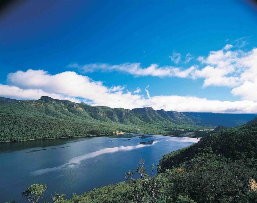
This is another day of up and down, but it is well worth it as the views are a constant antidote to the rigours of walking the Grampians Peaks Trail. You will make your way via rocky outcrops and witness magnificent views over Lake Wartook. The views don't end there but continue as you make your way to Chatauqua Lookout. The walk ends today in the tourist town of Halls Gap. A reward of a cold beer or a glass of wine might be in order.
Walk: 13km / Easy to Moderate / 4-5 hrs.
CENTRE 1: HALLS GAP TO BUGIGA
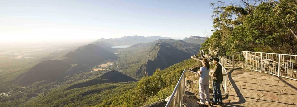
Today's walk is the busiest, but really the only place you are going to see other people. It is also one of the best walks in the park. The walk makes its way through the delightful Venus Baths and over Elephant Hide and then through the Grand Canyon to the Pinnacle and the amazing lookout. The views over Halls Gap and Lake Bellfield are some of the best on the walk. The walk ends at Bugiga.
Walk: 8.6km / Moderate / 3.5-4.5 hrs.
CENTRE 2: BUGIGA TO BARRI YALUG
There are some really nice small detours today, one to Sundial lookout and another to Silverband falls, both well worth a visit. The walk winds its way down to Rosea car park and then a real climb up to the summit of Mount Rosea. It's a walk that has been touted as the number one walk in the park, at least by Auswalk guides. You will come to rest at Barri Yalug, having walked via Borough Huts.
Walk: 14.2km / Moderate / 5 -6 hrs.
CENTRE 3: BARRI YALUG TO DUWUL
Walking in the shadow of Mount William, over cascades of rocky terraces and the Seven Dials shaped by millions of years of erosion. You continue to Redman Bluff, which allows for 360-degree views over the surrounding plains and back over the mountains. The track then descends down to Duwul and the end of the day's walk.
Walk: 12km / Moderate to hard / 5-6 hrs.
CENTRE 4: DUWUL TO DURD DURD
Today's walk ascends the highest mountain in the Range, Mount William. It is characterised by, you guessed it, more continuous outstanding views. The walk then descends steeply to Boundary Gap and Durd Durd via the Major Mitchell Plateau.
Walk: 15.6km / Moderate / 5-6 hrs.
CENTRE 5: DURD DURD TO YARRUM
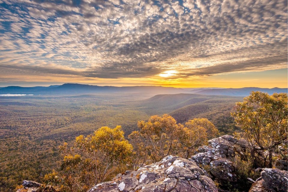
Today's walk begins with a descent to Jimmy Creek Road and back up to the ridgeline once again. By now, you will be used to the up and down nature of the Grampians Peaks Trail. This section of the track is probably the most remote part of the park. It comes with the reward of excellent sunset views over the western section of the ranges.
Walk: 12.5km / Moderate / 5-6 hrs.
SOUTH 1: YARRUM TO WANNON
From Yarrum, we descend to Hidden Valley and cross the road and back up along an escarpment with great views over the Sierra range. Today's walk ends at Wannon, a nice grassy valley with lots of kangaroos.
Walk: 11.9km / Moderate / 5-6 hrs.
SOUTH 2: WANNON TO DJARDJI-DJAWARA
You start today's walk with a flat section out from Wannon via Wannon Fan. The track climbs up the other side of Grampians Road and winds its way upwards. Once you get to the highest point today, the track then makes its way along the Sierra Range, eventually making its way to Djardji-djaware.
Walk: 15.4km / Moderate / 5-6 hrs.
SOUTH 3: DJARDJI-DJAWARA TO MUD-DADJUG
This is said to be a hard walk due to the severe gradient of the track. As the name Mount Abrupt indicates, this Mountain looks as though it has crashed out of the earth and has rocketed up into the sky. There's some good old-fashioned climbing to be done today, none of it difficult, but a lot of it is up. It can be arduous if you are not prepared, but given your preparation from the first eleven days of walking, you should be ready. You end today at Mud-Dadjug perched up high on the plateau just below Mount Abrupt.
Walk: 10.4km / Moderate to hard / 4.5-6.5hrs
SOUTH 4: MUD-DADJUG TO DUNKELD
Today, you make your way down from Mount Abrupt via the Picanninny, a small knoll, then up to Mount Sturgeon. From here, you have your last expensive views of the walk over the plains and the small hamlet of Dunkeld. If you walk this track from end to end, it might be worth taking a small detour up to Mount Zero as mentioned on day 1. So that you can say you walked from peak to peak. The first peak at the northern end is officially Mount Staplyton, so don't be concerned if you didn't walk Mount Zero; you've accomplished the Grampians Peak Trail.
Walk: 12.1km / Moderate to hard / 5-6 hrs.
We can create a custom trip tailored to your preferences.
As Featured In